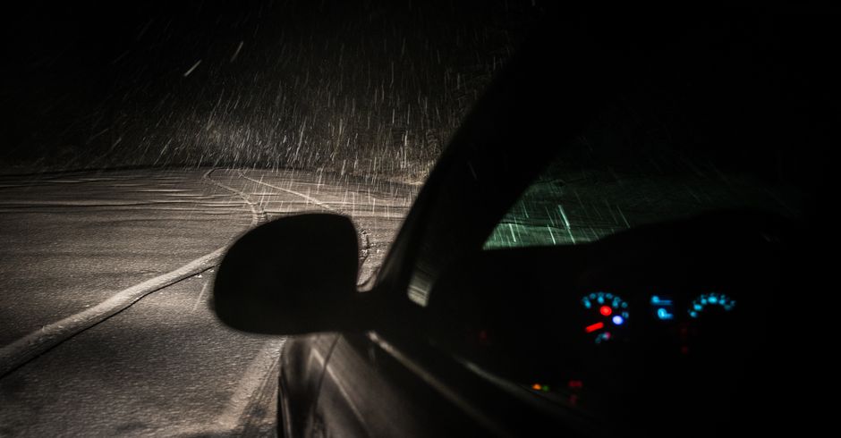
Your satnav told you to turn left. You turned left. Now you're axle-deep in a boreen outside Strokestown wondering if Google Maps has ever actually been to Roscommon.
This is not a fringe experience. Navigation apps routing Irish drivers through genuinely dangerous or absurd paths has become a steady drip of complaints on local Facebook groups, radio phone-ins, and the occasional angry letter to county councils. But the stories are usually funny after the fact. The actual risk buried inside GPS overreliance is less funny and worth taking seriously.
What the Apps Are Actually Doing
Navigation apps optimise for time or distance. That sounds reasonable until you understand what they treat as equivalent. A wide, well-lit national road and a single-track mountain pass with no barrier between you and a 200-metre drop can look the same to an algorithm. Both have an arrival time. Neither has a risk rating.
Apps like Google Maps and Waze pull live traffic data, which is genuinely useful on motorways. On rural Irish roads, that data thins out fast. The RSA's own figures consistently show that rural roads account for a disproportionate share of serious collisions in Ireland, yet these are precisely the roads where navigation apps have the least reliable information about surface condition, width, weight limits, and seasonal closures. An app that confidently routes a loaded campervan down an unsigned road in West Cork because it saves seven minutes is not your friend.
There is also the issue of what researchers call "automation bias." That is the tendency to trust a system's output over your own judgment simply because it came from a screen. You see it every time someone drives into a flooded road because the app didn't flag it. The app said go. They went.
The Distraction Problem Nobody Talks About
Following GPS instructions creates a specific kind of cognitive load. You are listening for the next prompt while simultaneously trying to read the road. When those two things conflict, which they do constantly on poorly mapped Irish rural roads, most drivers resolve the conflict by focusing on the instruction. The road loses.
Distracted driving on Irish roads is not just a phone-in-hand problem. It is anything that pulls your attention away from what is happening in front of you. A voice prompt saying "turn right in 200 metres" while you are navigating a blind junction on a wet road in Donegal is a distraction. A screen you glance at to confirm the route is a distraction. Neither of these things makes you a bad driver. But doing them without awareness of the cost makes you a less safe one.
Where Irish Roads Punish the Trusting Driver
A few specific situations where GPS overreliance bites hardest on Irish roads.
Rural boreens. Apps regularly route through roads that are technically passable for a 2005 Micra in dry August but are a genuine hazard in a standard-sized SUV in November. If the road looks wrong, it probably is. The app does not know that.
Tight urban routes. Apps in cities like Cork or Galway will sometimes pick a rat-run through a narrow residential street over a slightly longer main road, because the main road has traffic. The rat-run might have a school. It might have parked cars on both sides. The app sees a faster route. You see a tight squeeze at 30km/h.
River roads and flood plains. Ireland floods. Parts of the Shannon corridor, south Galway, and the Suir valley flood predictably every winter. Apps that haven't received real-time updates will route you confidently into standing water. There is an entire genre of Irish news photo that is just a car with its bonnet submerged near a familiar bridge.
Ferry and toll shortcuts. Some apps will cheerfully suggest a ferry crossing as a "shortcut" without flagging the timetable, the cost, or the fact that the last sailing was at 7pm. You discover this at 8:15pm in the car park of a darkened pier.
How to Use a Satnav Without Becoming Dependent on It
None of this means throw the phone out the window. It means use the tool without surrendering your judgment to it.
Look at the whole route before you leave. Spend two minutes on the overview screen before you start driving. Note where the route takes you onto smaller roads. If something looks odd, zoom in. Check it against your own knowledge of the area.
Know the broad strokes. You don't need to memorise every turn. But knowing that you're heading roughly south on the N11 until Gorey, then cutting west toward Kilkenny, means that if the app tries to take you east toward Wexford town, you notice. That is the check. Your awareness catches the error before you're committed to it.
Trust road signage over the app when they conflict. Irish national and regional road signs are, despite all reasonable complaint, generally accurate and up to date. A diversion sign on the road was put there by someone who physically visited the situation. The app was not.
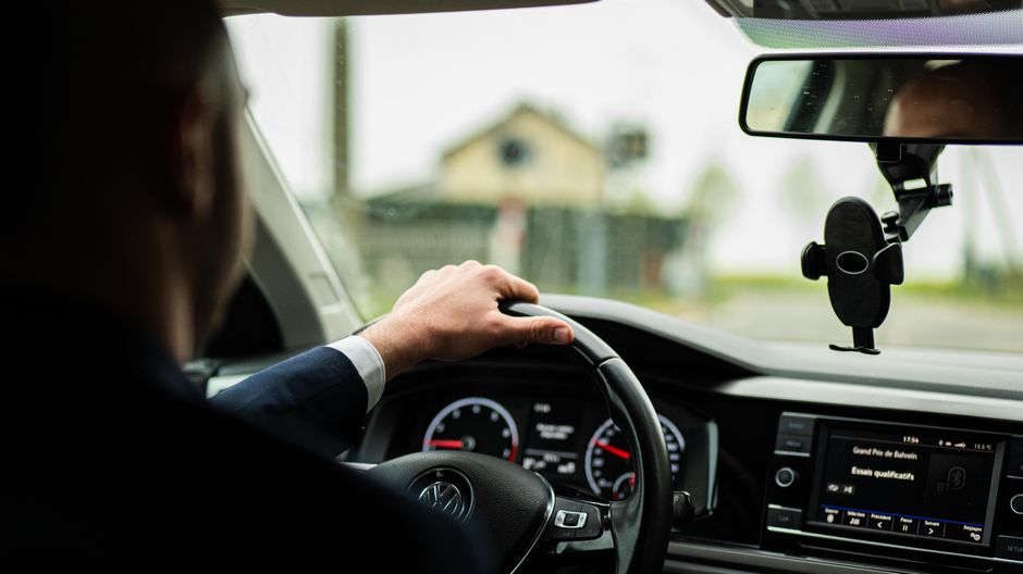
Turn the volume up and the screen reliance down. Audio prompts are less distracting than visual ones. Mount your phone correctly (the right way to mount a phone for satnav use is not the same as the common way) and let the voice do the work. Eyes on the road, not the map.
Override freely. Apps recalculate. That is literally their job. If a turn looks wrong, skip it. The app will find another way. The road does not penalise you for ignoring a prompt. The ditch might, if you don't.
What You're Actually Paying Attention To
There is a version of driving where the satnav handles navigation, the lane assist handles the lane, the cruise control handles the speed, and the driver handles... not much. That version is not safe on Irish roads in 2025. The technology is not good enough for full trust, and Irish road infrastructure is not consistent enough to make it reliable.
Good navigation is a skill. It involves spatial awareness, memory, and the ability to predict what is coming from context rather than just instruction. These are the same underlying skills that make someone a confident, safe driver in general. Outsourcing them entirely to an app does not save them for later use. It erodes them.
The satnav told you to turn left. Sometimes it's right. Sometimes it's a boreen outside Strokestown. The difference is you.