Everyone who's driven the M8 has the same story. You join at Portlaoise, you stare at the same grey ribbon for two hours, and you arrive in Cork mildly depressed and somehow still tired. The motorway does its job. It just doesn't do anything else.
There's another way. It takes roughly the same time on a typical day. It uses less fuel, in a measurable way. And it goes through parts of Ireland that most people between Dublin and Cork have never actually seen from ground level.
Why the M8 Isn't the Deal It Looks Like
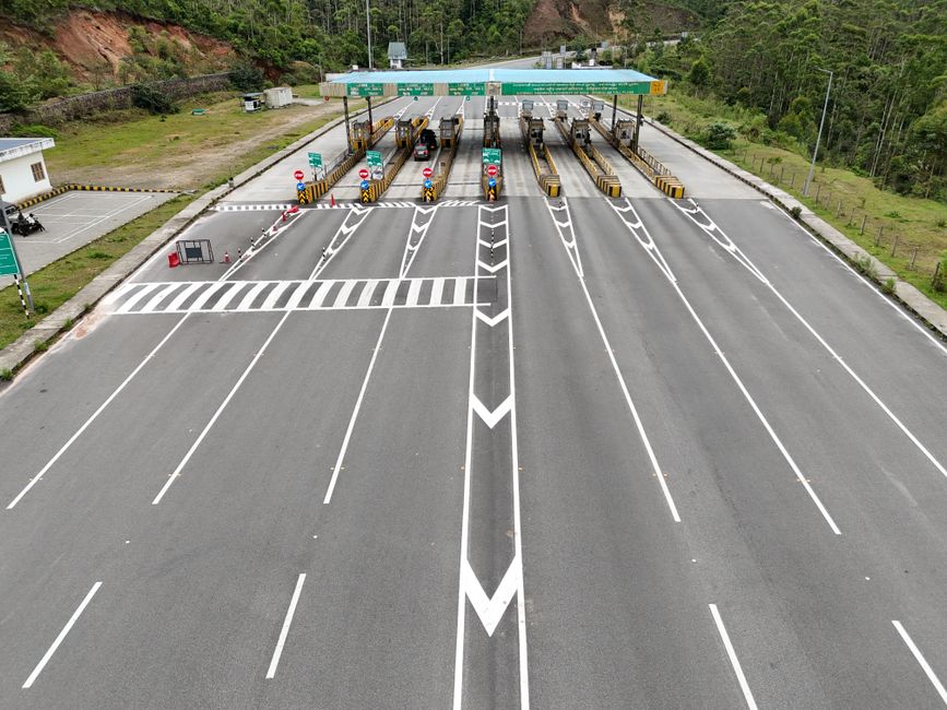
The M8 corridor is about 265km from the M50 junction to Cork city. At 120km/h, the physics are against you. Fuel consumption climbs sharply above 100km/h on most petrol or diesel cars. A 2019 Toyota Corolla that returns 5.5 litres per 100km at 90km/h is burning closer to 7.0 litres per 100km on a motorway cruise. Over 265km, that adds up. Add the toll costs, which currently run to around €3.90 for the M8 Cashel plaza and further south, and the motorway isn't as cheap as it feels.
The alternative route we're describing runs roughly 290km, so yes, it's longer on the map. But the lower average speed means your engine is working in its sweet spot for more of the journey. And there are no tolls.
The Route in Plain Terms
Leave Dublin via the N7 toward Naas, then drop south onto the R445 through Carlow town. From there, pick up the R724 and head into the Slieveardagh Hills toward Urlingford. At Urlingford, take the R689 through Killenaule and down into the Suir Valley. Follow the valley road through Fethard, past the Norman walls and the racing stud farms, then push on through Clonmel and Cahir. From Cahir, take the N8 for a short stretch before cutting south through the Knockmealdown foothills on the R665 toward Mitchelstown. From Mitchelstown, the N73 takes you into Cork city in around 45 minutes.
If you want a simplified version: Dublin to Carlow to Urlingford to Clonmel to Mitchelstown to Cork. That's your spine.
What You Actually See
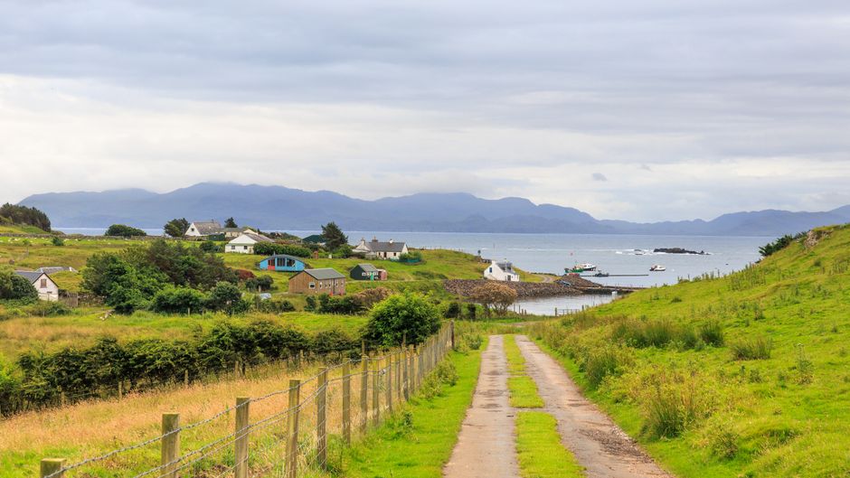
The Slieveardagh Hills are low, rounded, and completely unphotographed by most Irish people. They sit between Kilkenny and Tipperary and look like a landscape from a different country, wide open bogland with long sightlines and almost no traffic on a weekday.
Fethard is a small market town with intact medieval walls. Five minutes off the main road and you're walking past a 13th-century friary. It's the kind of place the motorway was specifically designed to bypass, which is a reasonable description of everything good about this route.
The Suir Valley between Fethard and Clonmel is flat, green, and genuinely peaceful. Clonmel itself is worth stopping in. Good coffee, a river walk, and none of the tourist-trap pressure you get in towns that have been discovered.
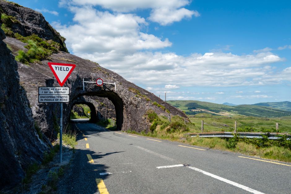
The Knockmealdown foothills south of Cahir are the best driving section of the whole route. The road rises through forestry and open moorland before the descent into Mitchelstown. If you have a car that actually responds to driver input, this is where you'll remember it.
The Fuel Numbers
Steady driving between 80 and 100km/h on regional roads keeps most modern petrols in that 5.0 to 5.5 litre per 100km range. On the M8 at motorway speeds, the same cars are typically returning 6.5 to 7.5 litres per 100km depending on engine size and conditions. Over a 290km alternative route at lower consumption versus a 265km motorway run at higher consumption, you're looking at a saving of roughly 3 to 5 litres of fuel. At current prices, that's €5 to €8 back in your pocket before you factor in the absence of tolls.
Car running costs in Ireland are genuinely affected by route choice over time. For anyone doing this run regularly, the alternative adds up.
It's also worth noting that the stop-start nature of a long motorway stint, with the cruise control locked and the brain on standby, doesn't suit diesel particulate filters well. Regional road driving, with its varied speed and load, is gentler on modern emissions systems.
Timing: When It Works and When It Doesn't
Honestly, this route shines on a weekday outside school run times or on a weekend morning before 10am. The towns through the Suir Valley can slow you down on a Friday afternoon when local traffic is moving around. Clonmel in particular has a main street that doesn't love through-traffic in the late afternoon.
The motorway wins in bad weather and when you're in a genuine hurry. It also wins if you have children who have already asked "are we there yet" twice before Naas. For everything else, the scenic route is competitive on time and better on cost.
Practical Notes Before You Go
Fill up before you leave Dublin, or stop in Carlow town where fuel prices are routinely a few cents cheaper per litre than city forecourts. Take the R665 through the Knockmealdowns slowly. Not because it's dangerous, but because you'll regret rushing it.
The route is fully navigable on Google Maps. Search for directions avoiding motorways and it'll broadly follow what's described here. Some versions will try to route you through Cahir town centre, which is fine but adds five minutes. Take the bypass if you're not stopping.
If you're doing this in an eight Irish road trips type of spirit rather than pure point-to-point logic, build in an hour in Fethard or Clonmel. The route rewards that approach far more than the M8 ever could.
The Car That Suits This Route
This route works in almost any car, but it rewards something with reasonable real-world economy at moderate speeds. A diesel hatchback or saloon doing 4.5 litres per 100km at 90km/h will make a solid case for the saving. A large SUV running on a heavy right foot will close the gap with the motorway option, but the experience argument holds regardless.
If you've been considering whether a more efficient car would change how you drive long-distance routes, this is the kind of run that makes the decision tangible. The difference between 5.0 and 7.0 litres per 100km isn't abstract when you can see it in the tank.
The M8 will be there for the days you need it. Grey, efficient, forgettable. This route is for every other day, which, if you plan it right, is most of them.